Guide to the Harrison Lillooet route
Gold Rush Trial: Back in 1858, early prospectors took a route from the Fraser River, north up Harrison Lake by paddle-wheel or steamer to Port Douglas where many were recruited to cut the first trail to take them north to the gold fields in the Caribou.
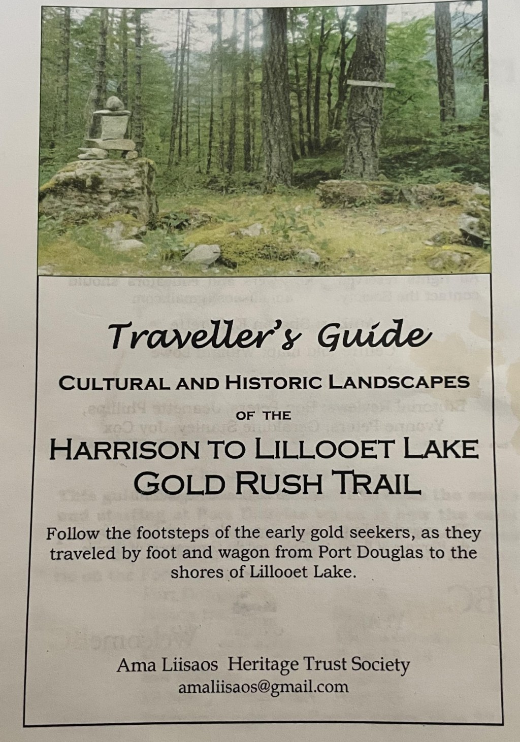
This booklet is a cultural and historic guide that will greatly improve your visit in the area. Along with many maps and photographs, the guide includes places of interest and advice. Today, the road is a good quality gravel logging road with yellow kilometre signs all along the way; take note of these as you travel- there is very little cell or internet coverage. Travellers may meet large vehicles, occasionally sight wildlife, and experience a glimpse back over 150 years ago. Recently, signage highlighting some of the historic stops have been erected by local indigenous communities.
This is still a somewhat isolated area. Be prepared – have good tires and carry a spare, bring what you need as there are no stores; the only gas station is at the southern end of the road on the reserve at Tipella. Local residents are often helpful if you have car trouble or a flat tire. Along the route today, there are numerous camp sites and three small indigenous communities: QuLaTKu7em/ Samahquam reserve accessed by crossing the bridge to the west side at 28 km south, Skatin Nation/ formerly Skookumchuck at 44 km, and Xa’xtsa/ Tippella (formerly Port Douglas) at approx. 75 km, where the road meets Harrison Lake. A Google search will give you information about these communities.
Remnants of the trail are located in southwestern British Columbia, 250 km from the city of Vancouver., BC, Canada,38 km east of Whistler, about 16 km past Pemberton. Th road follows along the east bank of the Lillooet River for over 75 km,; best accessed at 9 kilometers south of Mt. Currie where a BC Forestry Series modern gravel road along the Lake branches off from the paved highway which continues east toward Duffy Lake.
Chilliwack Forest District maintains seasonal 4-wheel drive road up the west side of Harrison Lake; for up -to-date road conditions; check Harrison West first before traveling forestry roads www.for.go.bc.ca/dsq.Engineering/ReadInformation.htm
Ama Liisaos, Heritage Trust Society
Publishing date: 2006
